Arizona Strip Road Trip Via U.S. Route 89A
The scenic Arizona Strip is packed with beauty, endangered wildlife, and territorial history.

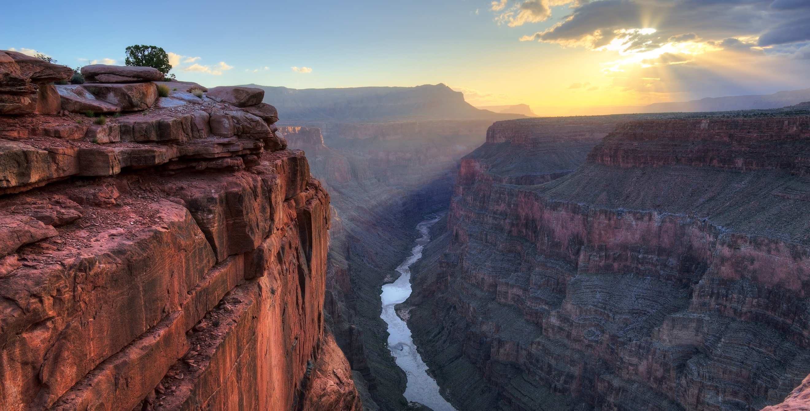
The U.S. Route 89A runs through a far-north wonderland called the Arizona Strip, seemingly cut off from the rest of the state by the Grand Canyon. But isolation is part of the thrill of this remote adventure, where you can hike natural stone giants or paddle the mighty Colorado, and at the same time be surrounded by rich historical resources and endangered wildlife.
Start off in Cameron.
Begin a memorable exploration just north of Flagstaff, in Cameron, named for the territorial representative, miner, and senator who supervised the building of Bright Angel Trail in the late 1800s. The senator was a frequent guest of the Cameron Trading Post. The original post has been restored and houses a remarkable collection of Native American and Western art. Nearby is a swayback suspension bridge, built in 1911, over the Little Colorado River.
Head to the Vermillion Cliffs.
From there, travel a little more than 50 miles through volcanic formations and remaining patches of Navajo cornfields and sheep herds. Turn westward at Bitter Springs to pick up U.S. 89A, designated as the Fredonia–Vermillion Cliffs Scenic Road in 1996. The cliffs appear as vertical ridges dropping into high-desert sagebrush.

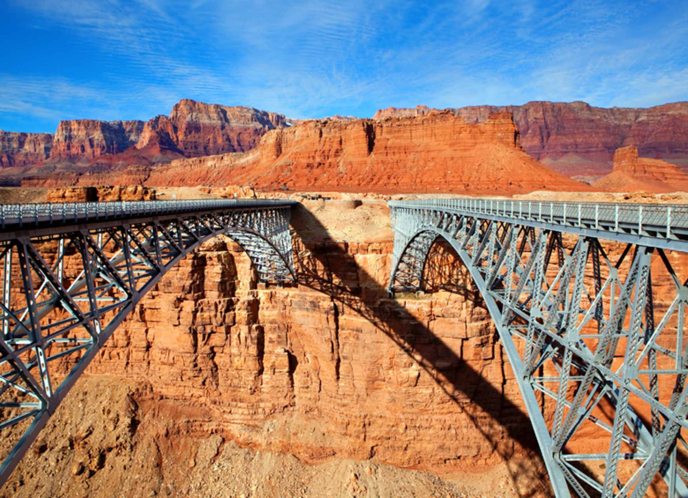
From the pedestrian walkway on the Navajo Bridge, peer down 467 feet to see the Colorado carving through the canyons below.
After 14 miles admiring this vista, you'll come to the Navajo Bridge. In fact, you'll see two bridges spanning the Colorado River here: one opened in 1929 to replace a hazardous ferry crossing farther upstream, and another built for modern motoring in 1995. The historic bridge now is a pedestrian walkway, with the Navajo Bridge Interpretive Center at its west bank. Along the walkway, you can peer down 467 feet to see the Colorado carving through the canyons below. Most importantly, look up. The historic bridge is a prime spot for viewing North America's largest land bird, the California condor. With nearly 10-foot wingspans, these majestic creatures were declared endangered in 1967. Now, the condor population is increasing thanks to the Peregrine Fund program. The sight of condors soaring on thermal updrafts or nesting in cliff caves is spectacular.
Take a winding road 5 miles north to Lees Ferry Landing, the site of the first Colorado River crossing and historic Mormon settlement. There's a walking tour of this historic district, which also is a gateway to Grand Canyon river trips and angler fishing. Nearby is the Lonely Dell Ranch, as well as remnants of an orchard, cabins, and a pioneer cemetery.
Back on U.S. 89A, there are several lodges with midcentury charm offering modest amenities to road-trippers looking to absorb a few days of hikes, history, or condor-watching. Trading post descendants still operate the Cliff Dweller's Lodge, where there's tasty trout dining.
About 12 miles west of the lodge is U.S. Forest Road 220, where Arizona Game and Fish manages a wildlife area that includes a bison herd, descendants of cattle-bison hybrids bred in 1905. (Glimpses of the bison are rare and four-wheel drive is recommended.) Three more miles farther west is House Rock Road (BLM 1065) and a cluster of old territorials, including a hotel where Sharlot Hall wrote parts of her Arizona Strip diary. Portions of the "Honeymoon Trail," used by Mormon settlers in the 1870s to traverse the West, are still here. Take BLM 1065 2 miles north to the condor viewing site. The interpretive panels and viewing binoculars to the easterly cliffs and condor release site are available year-round.
Navigate the North Rim.
Farther west along U.S. 89A, the two-lane road ascends from grasses to scrubby piñon and then to tall ponderosa, with several scenic turnoffs. After 10 miles, there's Jacob Lake Inn, a family-owned public house in operation since 1923. Jacob Lake also is the turnoff to state Highway 67, which ends at the scenic climax of the Grand Canyon North Rim (open mid-May through October). Enjoy the inn's hearty menu, but save room for warm homemade pies or cookies. And the inn's gift shop is full of local artisan jewelry, baskets, and sand paintings.
If you continue your Arizona Strip adventure another 30 miles west, you'll descend from forest to the small Mormon town of Fredonia. Fourteen miles south of Fredonia is Pipe Spring National Monument, where there's an easy nature trail, a historic Mormon fort tour, and a museum celebrating the history of the Kaibab Paiute Indians and the Mormon settlement.
Throughout this isolated region of northern Arizona, anywhere you stop, you'll find adventure.